PostGIS v.2.0
Advertisement
Description
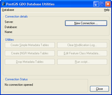
PostGIS is unique software that adds support for geographic objects to the PostgreSQL object-relational database.
In effect, PostGIS 'spatially enables' the PostgreSQL server, allowing it to be used as a back-end spatial database for geographic information systems (GIS), much like ESRI's SDE or Oracle's Spatial extension. PostGIS follows the OpenGIS 'Simple Features Specification for SQL' and has been certified as compliant with...
Read more
- Rate:
- Release Date:01/09/2011
- License:Freeware
- Category:Utilities
- Developer:Refractions Research
- Downloads:3
- Size:9.7 Mb
- Price: Free
To free download a trial version of PostGIS, click here
To visit developer homepage of PostGIS, click here
Advertisement
System Requirements
PostGIS requires Windows.
PostGIS v.2.0 Copyright
Shareware Junction periodically updates pricing and software information of PostGIS v.2.0 full version from the publisher using pad file and submit from users. Software piracy is theft, Using crack, password, serial numbers, registration codes, key generators, cd key, hacks is illegal and prevent future development of PostGIS v.2.0 Edition. Download links are directly from our publisher sites. Links PostGIS v.2.0 from Bittorrent, mediafire.com, uploadfiles.com, hotfiles.com rapidshare.com, megaupload.com, netload.in, storage.to, depositfiles.com and other files hosting are not allowed. The download file is obtained directly from the publisher, not from any Peer to Peer file sharing applications such as Shareaza, Limewire, Kazaa, Imesh, eDonkey, eMule, Ares, BearShare, Overnet, Morpheus, BitTorrent Azureus and WinMX.
Review This Software
More PostGIS Software
Advertisement
PostGIS v.2.0
PostGIS is unique software that adds support for geographic objects to the PostgreSQL object-relational database.
FGIS Editor v.3.0
The fGIS Editor is a multi-purpose, full-featured, powerful, and easy-to-use GIS application.
OpenGeo Suite v.2. 4. 2003
The OpenGeo Suite combines the power of open source plus the reliability and support of a single, stable vendor behind a full stack of software. It delivers functionality and flexibility for enterprises large and small.
Quantum GIS v.1.8.0
Cross-platform and user friendly Open Source Geographic Information System (GIS). Quantum GIS (QGIS) is a user friendly Open Source Geographic Information System (GIS) that runs on Linux, Unix, Mac OSX, and Windows. QGIS supports vector, raster,

HL DBExporter for PostgreSQL v.1.0
Export Data from PostgreSQL to (ORACLE, MYSQL, PostgreSQL, SQLITE).
